Mount Arkansas called to my grandfather throughout his time in Climax, Colorado.
Aside from photographs of the mining facility at Climax and his children, Mount Arkansas appears the most in his archive.
Mt. Arkansas is the source of the Arkansas River.
The headwaters of the Arkansas River begin at Mount Arkansas.
Not much wider than a few inches, the river grows to become a tributary to the mighty Mississippi 1,000 miles to the east.
Mt. Arkansas dominates the view from Fremont Pass on Route 91.
Coming up 91 towards Climax, once you reach the summit, Mt. Arkansas consumes your view.
The winter view looks more dramatic, especially on a sunny day.
But the mountain is impressive in the summer, too.
Mt. Arkansas is one of Colorado 13ers.
Hikers and Coloradans characterize various mountain peaks by summit height.
Mt. Arkansas ascends 13,795 feet and is in the top 200 13ers out of 637 total.
The Western Slope is less steep but covered in scree.
Scree is loose rock debris covering a slope.
My grandmother told me that while she could easily hike the Eastern Slope, she never liked hiking in the scree.
My grandfather would often hike the western slope.
She would walk with him and wait for him to ascend and return.
My grandfather found the mountain and its glacially carved valley enchanting.
He photographed the mountain in all seasons and from different distances and positions.
One of his photos had pride of place in my grandparent’s home in Idaho Springs.
Even after my grandfather’s passing, my grandmother hung the photo in the home of her second husband.
Some creative acts transcend death.

Mount Arkansas Base, Winter 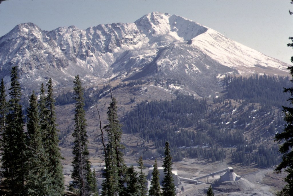
Mount Arkanas, Spring. 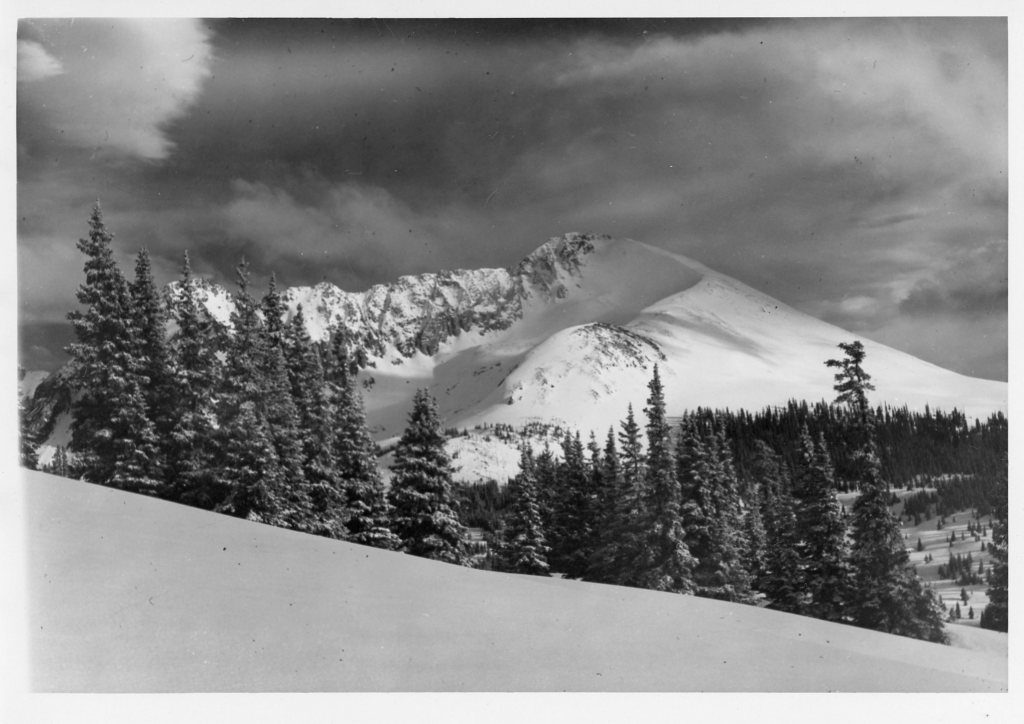
This photo hung in my grandparent’s home in Idaho Springs. My grandmother took it with her to the home of her second husband. 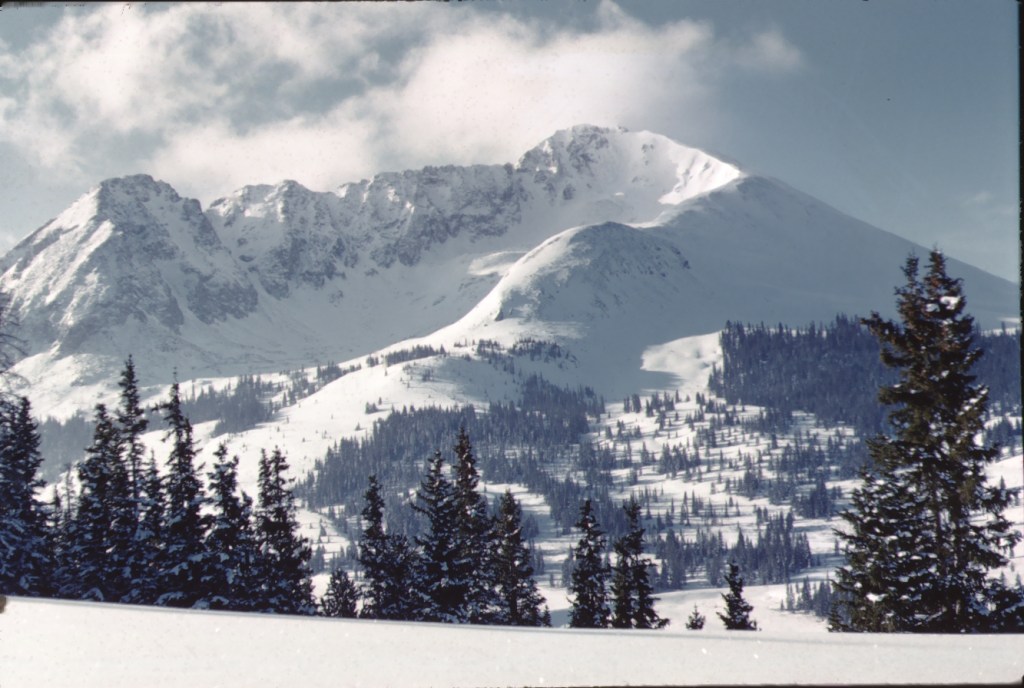
Mount Arkansas, winter 
Mount Arkansas in the Summer

Leave a comment